- Trails
- Green spaces
- Viewpoints and landscapes
- Madriu-Perafita-Claror valley
- Vall d'Enclar
- Anella Verda (Green Belt)
- Shelters
- Fishing
- Children and nature
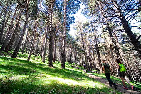
5.CAMÍ DEL BOSC DE PALOMERA
Difficulty: Easy
Start of the trail: Pk Prat Primer
Distance: 5,42 Km
Duration: 2:36 h
Slope: +300 / -300
Maximum altitude: 1.662 m
Type of trail:
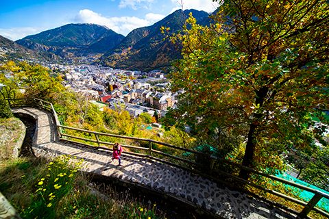
8.REC DEL SOLÀ
Difficulty: Easy
Start of the trail: Pk Bonavista
Distance: 5,76 Km
Duration: 2:15 h
Slope: +90 / -10
Maximum altitude: 1.115 m
Type of trail:
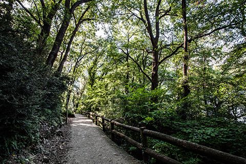
10.PASSEIG DEL REC
DE L'OBAC
Difficulty: Easy
Start of the trail: Pk Serradells / Fener II
Distance: 3,34 Km
Duration: 1:25 h
Slope: +16 / -20
Maximum altitude: 1.035 m
Type of trail:
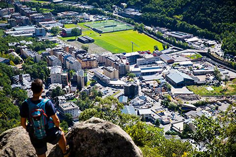
11.CAMÍ DE SANT VICENÇ D'ENCLAR
Difficulty: Easy
Start of the trail: Pk Escoles
Distance: 2,76 Km
Duration: 1:30 h
Slope: +190 / -10
Maximum altitude: 1.170 m
Type of trail:
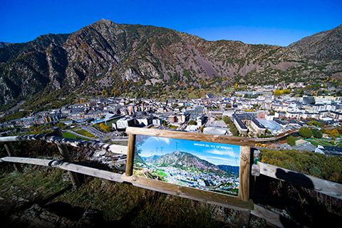
15.CAMÍ RAL DE L'OBAC
Difficulty: Easy
Start of the trail: Pk Pont de la Margineda
Distance: 7,18 Km
Duration: 2:18 h
Slope: +70 / -40
Maximum altitude: 1.031 m
Type of trail:

16.CAMÍ DE SANTA COLOMA
A LA MARGINEDA
Difficulty: Easy
Start of the trail: Pk Església Santa Coloma
Distance: 3,92 Km
Duration: 1:12 h
Slope: +20 / -68
Maximum altitude: 1.030 m
Type of trail:
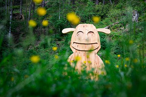
19.CAMÍ DEL TAMARRO
Difficulty: Easy
Start of the trail: Pk Prat Primer
Distance: 2,10 Km
Duration: 0:35 h
Slope: +70 / -85
Maximum altitude: 1.470 m
Type of trail:
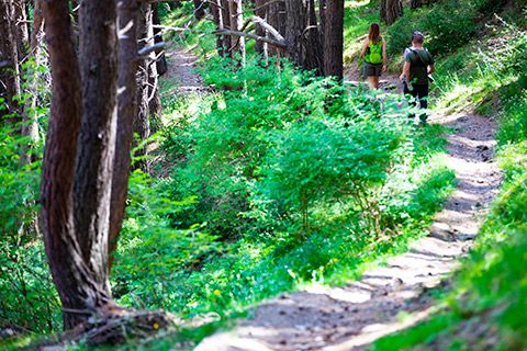
1.CIRCUIT DE LES FONTS
Difficulty: Intermediate
Start of the trail: Pk Prat Primer
Distance: 6,99 Km
Duration: 2:19 h
Slope: +391 / -391
Maximum altitude: 1.718 m
Type of trail:
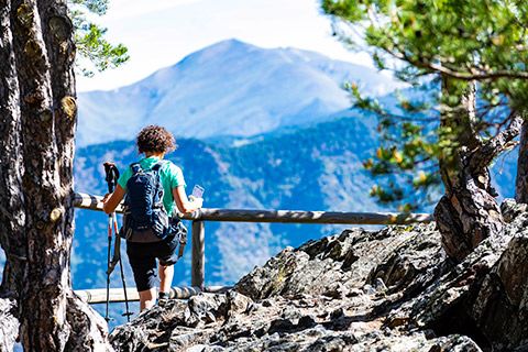
2.CIRCUIT DELS MIRADORS
Difficulty: Intermediate
Start of the trail: Pk Serradells
Distance: 7,88 Km
Duration: 2:53 h
Slope: +598 / -20
Maximum altitude: 1.645 m
Type of trail:

3.CAMÍ DE COSTA SEDA
Difficulty: Intermediate
Start of the trail: Pk Pont de la Margineda
Distance: 5,84 Km
Duration: 2:50 h
Slope: +655 / -653
Maximum altitude: 1.573 m
Type of trail:

4.GR7 - TRAM ANDORRA
LA VELLA
Difficulty: Intermediate
Start of the trail:
Distance: 5,05 Km
Duration: 2:05 h
Slope: +40 / -650
Maximum altitude: 1.725 m
Type of trail:

9.CAMÍ DE LA FONT
DE FERRÚS
Difficulty: Intermediate
Start of the trail: Pk Bonavista
Distance: 2,46 Km
Duration: 1 h
Slope: +0 / -170
Maximum altitude: 1.194 m
Type of trail:

13.CAMÍ D'AIXÀS
Difficulty: Intermediate
Start of the trail: Pk del Candeler
Distance: 7,59 Km
Duration: 3:12 h
Slope: +640 / -640
Maximum altitude: 1.150 m
Type of trail:
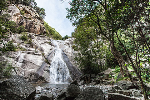
14.CAMÍ DE LA LLISSANDA
Difficulty: Intermediate
Start of the trail: Pk Església de Sta. Coloma / Pk Candeler
Distance: 1,30 Km
Duration: 40 min
Slope: +180 / -10
Maximum altitude: 1.160 m
Type of trail:
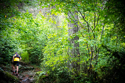
6.CAMÍ DE PRAT PRIMER
Difficulty: Difficult
Start of the trail: Pk Prat Primer
Distance: 6,60 Km
Duration: 3:28 h
Slope: +850 / -850
Maximum altitude: 2.223 m
Type of trail:

7.CAMÍ DE PRAT PRIMER
PER BOSC DE PALOMERA
Difficulty: Difficult
Start of the trail: Pk Prat Primer
Distance: 12,3 Km
Duration: 4:23 h
Slope: +906 / -900
Maximum altitude: 2.248 m
Type of trail:

12.CAMÍ D'ENCLAR: BONY DE LA PICA-PIC D'ENCLAR
Difficulty: Very difficult
Start of the trail: Pk Escoles
Distance: 10,46 Km
Duration: 4 h
Slope: +1.370 / -30
Maximum altitude: 2.402 m
Type of trail:
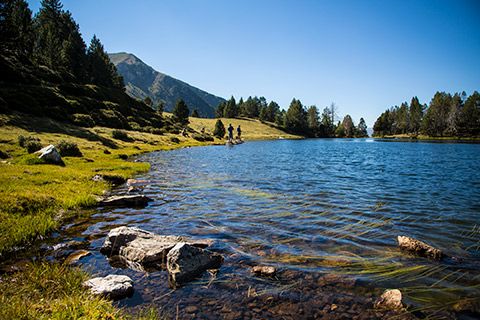
17.ESTANY DE LA NOU
Difficulty: Very difficult
Start of the trail: Pk Prat Primer
Distance: 13,98 Km
Duration: 6:10 h
Slope: +1.141/ -887
Maximum altitude: 2.484 m
Type of trail:

18.GRP: VALL D'ENCLAR - BONY DE LA PICA - SISPONY-MARGINEDA
Difficulty: Very difficult
Start of the trail: Pk Església de Sta. Coloma
Distance: 25,4 Km
Distance: 10:30 h
Slope: +1.431 / -1.431
Maximum altitude: 2.405 m
Type of trail:
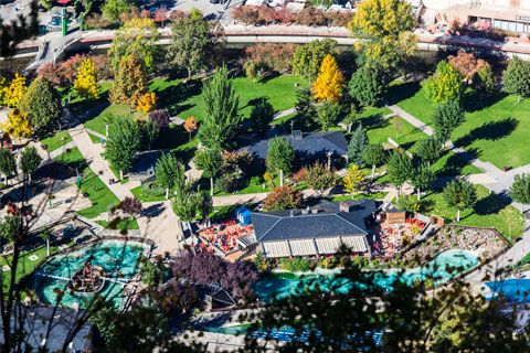
PARC CENTRAL
The Parc Central, a green area spread out over 33.000m², making it the biggest green lung in the capital, sits in the heart of Andorra la Vella, next to the Valira River.
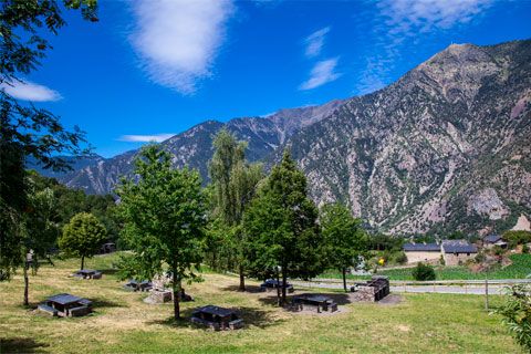
PICNIC SITE AT
LA COMELLA
With an area of more than 16,500 m2, the picnic area is an ideal setting for a barbecue with family or friends, with the panorama of the sunny side of Andorra in front of you.
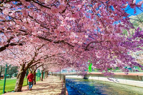
PASSEIG DEL RIU
The passeig del Riu, or River Walk, runs through the city, parallel to the Valira River. It is a pleasant route both for walking and for running, as a stretch of it is paved specially for runners. The start of the walk is located in the Parc Central and finishes in Santa Coloma.
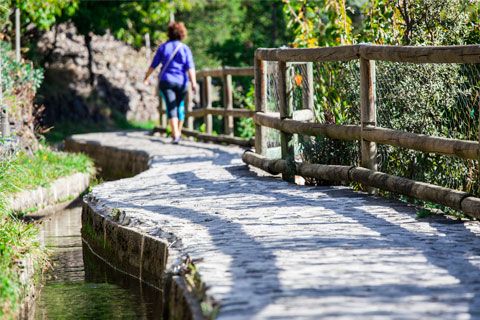
REC DEL SOLÀ PATH
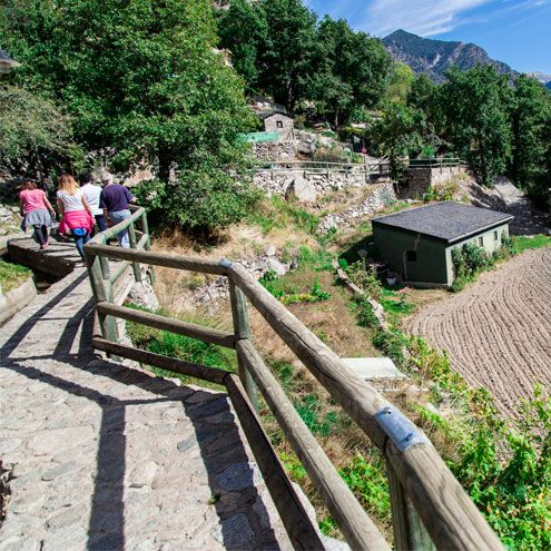
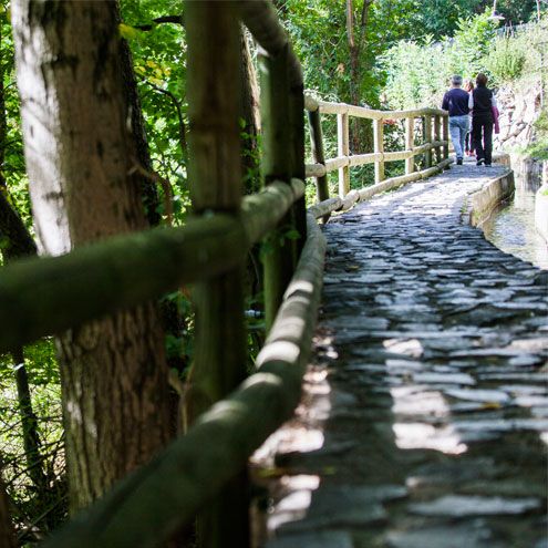
On one of the slopes of Andorra la Vella, we find the Rec del Solà, a space for sport, walking or taking in the views of the parish at its large viewpoint. This is a 4km linear walk (there and back) that passes along a little irrigation canal built in 1880, which was used to water the orchards located on the slopes and runs from the Col·legi de Sant Ermengol to Santa Coloma. It is a paved path and perfect for a pleasant, relaxed morning walk with family.
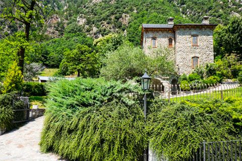
SANTA COLOMA –
LA MARGINEDA TRAIL
From Santa Coloma, heading towards La Margineda on traditional trails, walkers can see the Torre dels Russos (Russians tower) and the archaeological settlement of the Roureda de La Margineda. Further to the south, you will find the Pont de La Margineda (Margineda Bridge), then, a bit further on, the Balma de la Margineda, which was home to the first inhabitants of Andorra 12,000 years ago.
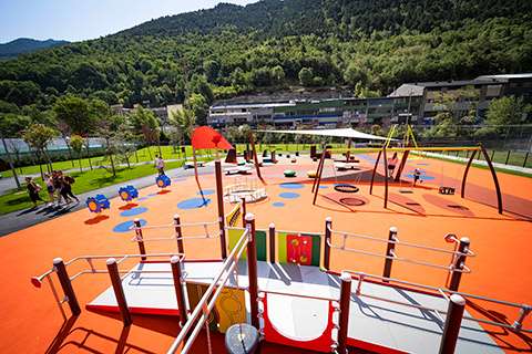
PARC FLUVIAL

Ctra. de la Comella i de la Plana, 29, AD500 Andorra la Vella, Andorra
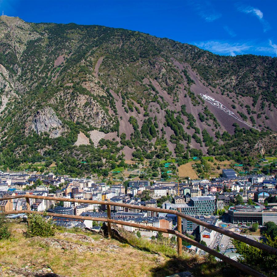
The La Comella viewpoint is one of the most symbolic and picturesque spots in the parish of Andorra la Vella. It is the perfect place to enjoy the beauty and biodiversity of the surrounding area and take in the spectacular views.
This viewpoint is ideal for getting out your camera and immortalising the breathtaking scenery around you, including some of the country's most incredible peaks, such as the Pic de Carroi in the foreground (2,334 metres), the Pic de les Fonts (2,748 metres) and the Pic del Pla de l'Estany (2,859 metres).
What's more, an information panel will introduce you to the area's plant life. With a bit of luck, you might glimpse some of the local wildlife, which also appears on the information board.
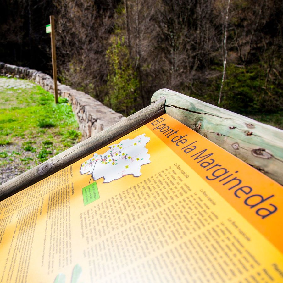
Carrer Tossalet i Vinyals, AD500 Andorra la Vella, Andorra
The viewpoint at the Pont de La Margineda is the ideal spot to discover the riparian forest, where the main trees are the alder and the common ash tree, which can reach a height of up to 30 metres.
You can also observe how nature has had to adapt to a lack of water and sun as you take a closer look at the flora growing on the rocks, where three types of fern are abundant: maidenhair spleenwort, northern spleenwort and bracken.
The plant life is not the only attraction on offer; visitors can also spot a variety of river birds, like the white wagtail, which is usually found singing on the rocks in the stream, and the Eurasian wren, which prefers to sit in the bushes. In the winter, you can even see the migration of the great cormorant.
Crta. de La Comella i de la Plana, AD500 Andorra la Vella, Andorra
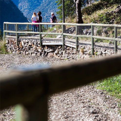
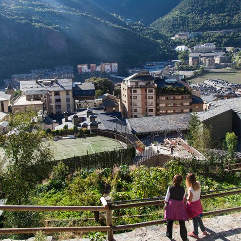
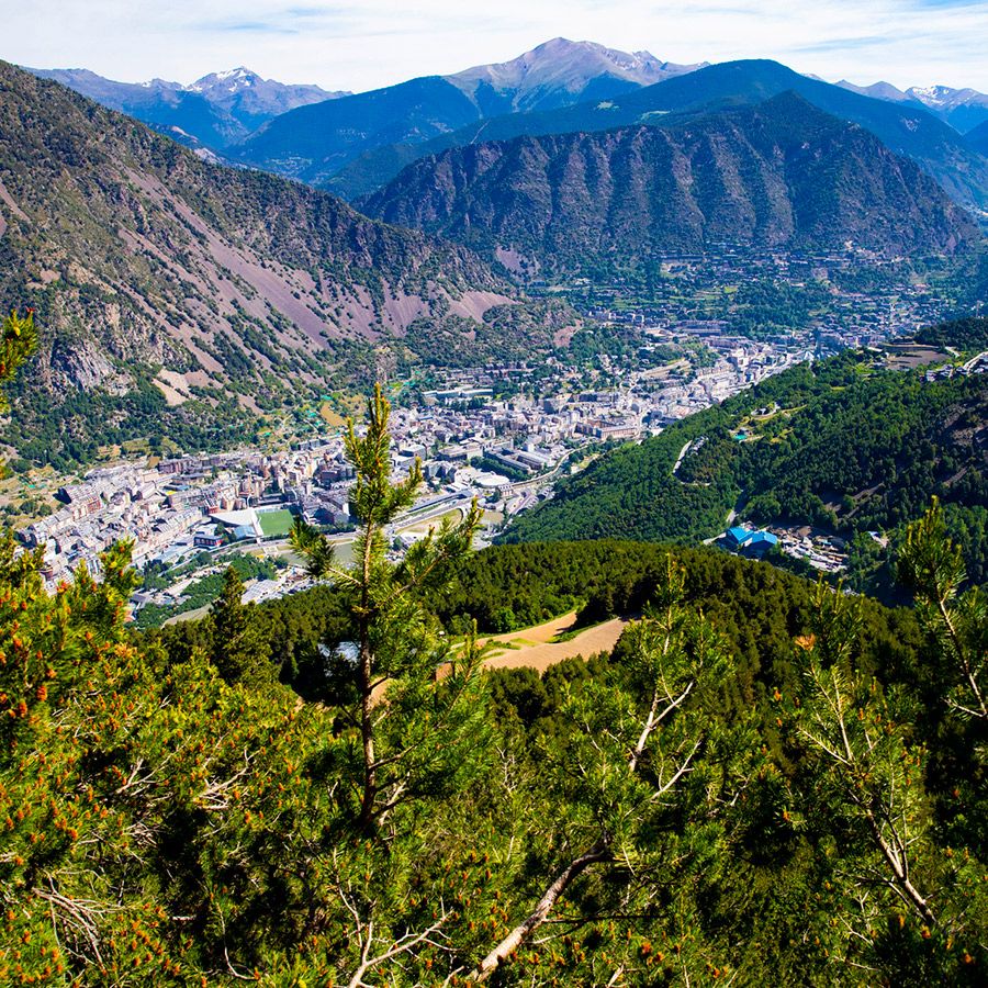
The Roc de Senders viewpoint, accessible from Rec de l'Obac or Els Serradells sports centre, offers spectacular views of the Andorra la Vella valley and Santa Coloma, from the shaded slope.
Andorra la Vella, Andorra
The viewpoints of Roc de Senders, Bosc Negre, Roc de Palomera and Roc de Solobre are located on the Obaga and offer majestic views and the knowledge of unique sites.
Among the route that binds these viewpoints, crossing the Bosc de Palomera, there are archaeological remains and dry-stone walls. We can observe the characteristic flora and fauna of this ecosystem.
One of the ways into the nature area of Madriu-Perafita-Claror, declared heritage of humanity by UNESCO in 2004, is from the Obac or shady side of Andorra, by well signposted paths leading up to Prat Primer and the pass of La Caülla, through the woods of Palomera. The protected area, which is shared between four parishes (Sant Julià de Lòria, Andorra la Vella, Escaldes-Engordany and Encamp), is a magnificent example of the natural and cultural environments in the mountain ecosystems.
MOUNTAIN SAFETY ADVICE
- Choose your walk according tp your experience and physical condition.
- Don’t leave alone and inform family or friends about your itinerary.
- Before you leave, check the weather and avalanche forecasts.
- Wear suitable clothing and footwear, carry food and drink, and protect yourself from sun and bad weather conditions.
This route begins on Carrer dels Barrers in Santa Coloma then, along the scree, heads towards Collet de Sant Vicenç. The track then continues towards the left, past the pre-Romanesque Sant Vicenç Church and the archaeological area of the Roc d'Enclar. On the right, the path continues straight towards the mountains, through a wild valley, ideal for spotting birds of prey and large local mammals: izards, European roe deer and wild boar.
The Vall d'Enclar is one of the areas in Andorra with the biggest population of izards. If you visit at the very beginning or end of the day, you might see one. Otherwise, you can look for traces of them, like footprints or excrement.
- Altitude difference: 350 metres
- Distance: 1.600m
- Difficulty: low
- Duration: 2h 30min
- Season: All year
MOUNTAIN SAFETY ADVICE
- Choose your walk according tp your experience and physical condition.
- Don’t leave alone and inform family or friends about your itinerary.
- Before you leave, check the weather and avalanche forecasts.
- Wear suitable clothing and footwear, carry food and drink, and protect yourself from sun and bad weather conditions.

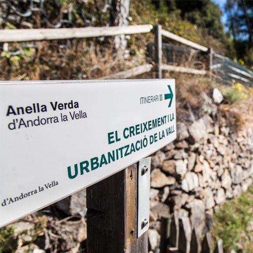
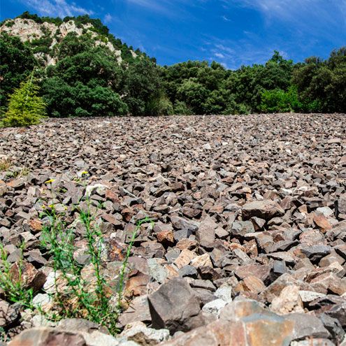
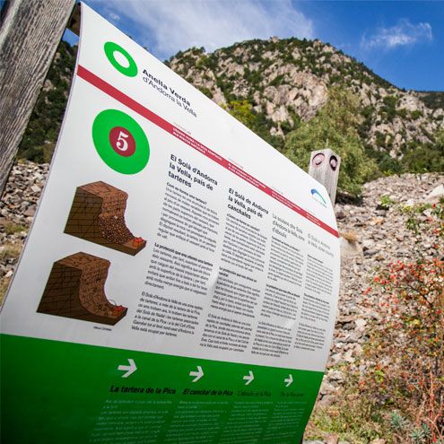
The Anella Verda (Green Belt) is a natural trail that surrounds the urban agglomeration of Andorra la Vella. It is an easy walk with few uphill parts, made up of the Rec del Solà, Rec de l'Obac and various areas of historical, natural and cultural interest. The route passes through scenery that tells the story of local resources and society over history, and shows how the parish has evolved and how its urban layout has been organised. It includes several signposted routes so that you can discover the geology surrounding you and its relationship with urban centres, Andorran Romanesque architecture and the rural scenery. The Rec de l'Obac stretch covers the most wooded area of the route, as well as the orchards and tobacco crops, while the Rec del Solà part offers the perfect viewpoint over the valley, from where you can take in the parish's scenery.
There are several signposted routes.
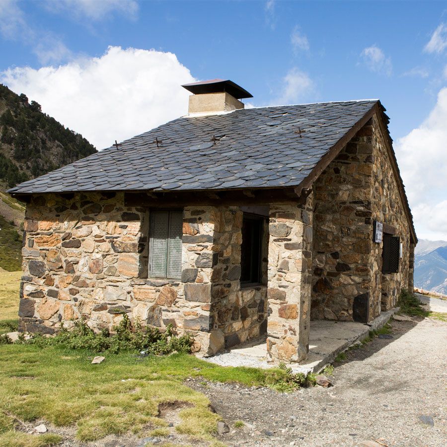
On the left bank of the Prat Primer River and 2,235 metres up, between the Prat Primer mountain pass and Els Graus, we find the unguarded Prat Primer shelter.
This stone shelter, inaugurated in 1981, is open all year (but only maintained in the summer) and has bunks for 6 people, a fireplace and running water. There is also mobile phone signal in the area.
To get there, go to La Comella by car, then follow the La Plana path for 2 hours.
- Incline: 880 metres.
- Difficulty: high.
- Time: 2 hours.
- Season: All year.
MOUNTAIN SAFETY ADVICE
- Choose your walk according tp your experience and physical condition.
- Don’t leave alone and inform family or friends about your itinerary.
- Before you leave, check the weather and avalanche forecasts.
- Wear suitable clothing and footwear, carry food and drink, and protect yourself from sun and bad weather conditions.

The fishing season in Andorra begins in mid-March and finishes in mid-November. Whether you are looking for controlled fishing, more intensive fishing or catch and release areas, Andorra offers the opportunity to enjoy a relaxing day out fishing surrounded by nature's beauty.
From Andorra la Vella, there is a route that takes you to the Estany de la Nou lake, where fly fishing is very popular.
Please remember, however, that recreational fishing requires a licence in Andorra. A seasonal licence can be obtained from the Govern's administrative building (c/Prat de la Creu, 62, Andorra la Vella), or a tourist licence can be requested from any Tourist office or other authorised entity in Andorra.
Do you know which animals can be seen in Andorra la Vella?
Just download the following PDF and find out!
 Comú
Comú
 Tràmits
 Esports
 Turisme
 Cultura

 CA
CA  ES
ES  FR
FR 


